Sites and Monuments Record · Ireland
Fulacht fia
Cappagh (Burren By.), County Clare, Ireland
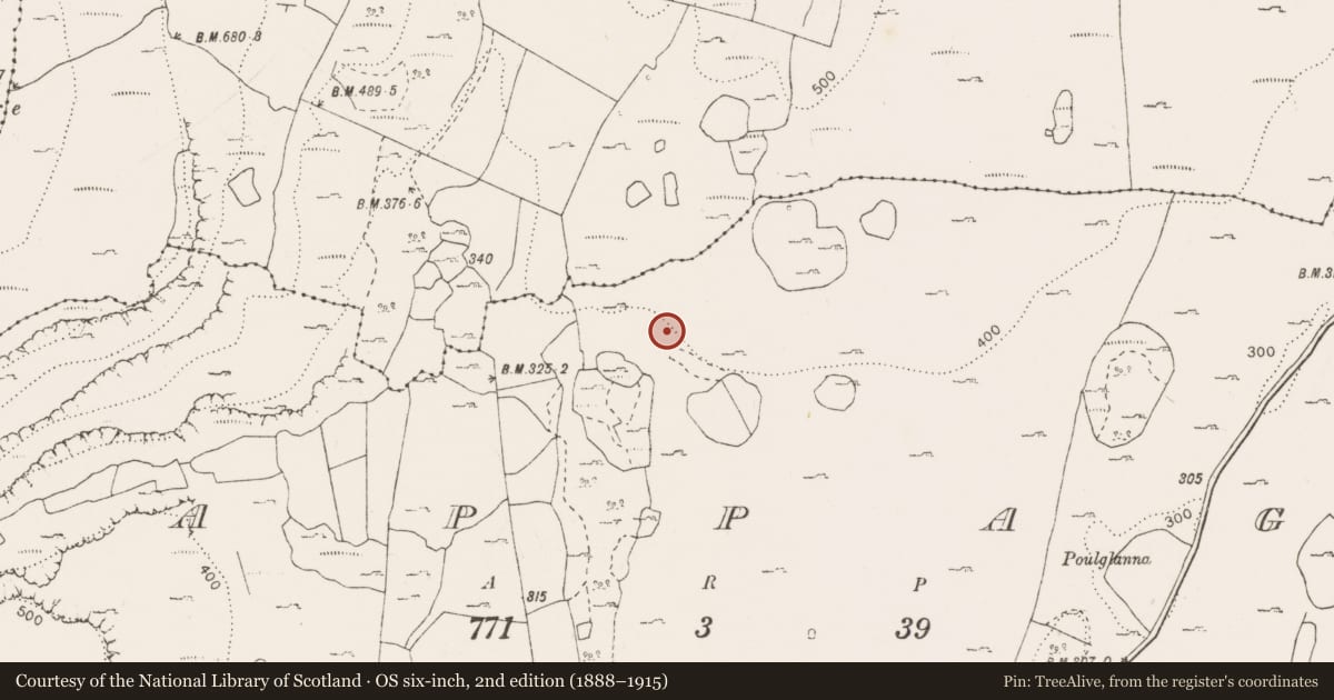
The record
- Townland
- Cappagh (Burren By.)
- County
- Clare
- Country
- Ireland
- First-edition OS map
- Not indicated
- Latest-edition OS map
- Not indicated
- Coordinates
- 53.06536, -9.00994
- SMR number
- CL006-129----
Slide toward Today to fade the historical sheet and see the modern map underneath.
David Rumsey Map Collection, Stanford LibrariesDavid Rumsey Map Collection, Stanford LibrariesDavid Rumsey Map Collection, Stanford LibrariesDavid Rumsey Map Collection, Stanford Libraries
4 historical maps cover this location, the earliest the 1753 map "Mappa geographica Regni Hiberniae" (David Rumsey Map Collection, Stanford Libraries).
Historical maps covering this location
- 1753 · Mappa geographica Regni Hiberniae (David Rumsey Map Collection, Stanford Libraries)
- 1790 · Composite: Ireland. (David Rumsey Map Collection, Stanford Libraries)
- 1869 · Ireland. (David Rumsey Map Collection, Stanford Libraries)
- 1891 · Ireland 16 (David Rumsey Map Collection, Stanford Libraries)
This record in the National Monuments Service's Historic Environment Viewer ↗
The National Monuments Service's description
One of two fulachtaí fia at the base of a rocky vertical outcrop in an area with dense hazel growth. A natural spring is located between the two sites. The view is restricted by the outcrop to the N and by mature vegetation to the S and W. A roughly horseshoe-shaped mound (c. 10m NE-SW; c. 8.5m NW-SE; H 1.8m) open to the SE towards the spring. Remains of a trough are visible. A second fulacht (CL006-129001-) is located c. 18m to the SE. This fulacht fia was located by Elaine Lynch in 2023 during work on the Field Monument Advisory scheme. A number of fulachtaí fia were reported at c. ITM 532346, 701997 (ING 132390, 201970) in 1996 (pers. comm. T. Coffey, SMR file) and listed in the RMP (1996) as ‘Fulachta Fiadh’. It is likely given the absence of GPS at the time that these are the sites in question.
Compiled by: Mary Tunney
Date of upload: 4 November 2025
Nearby in the register
- Fulacht fiaunder 1 mi
- Field systemunder 1 mi
- Architectural fragmentunder 1 mi
- House - indeterminate dateunder 1 mi
Other entries of the same register within about three miles of this one, by straight line.