Sites and Monuments Record · Ireland
House - indeterminate date
Ballyallaban, County Clare, Ireland
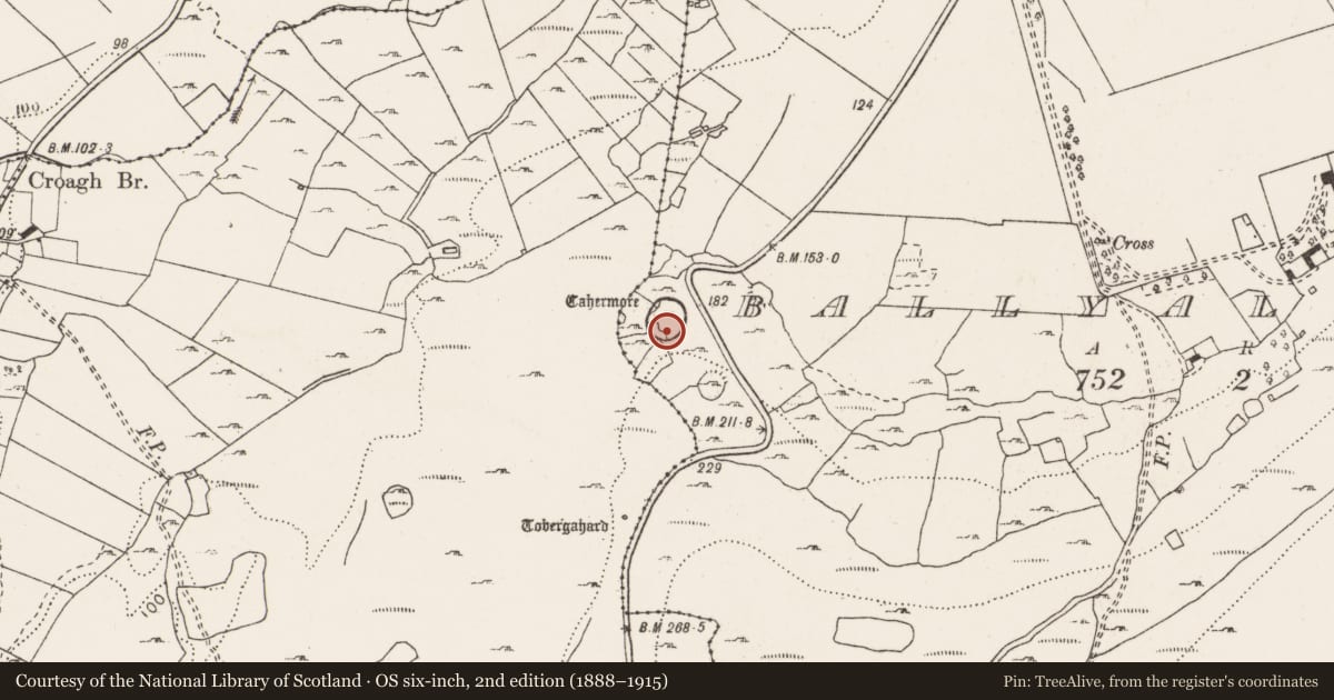
The record
- Townland
- Ballyallaban
- County
- Clare
- Country
- Ireland
- First-edition OS map
- Not indicated
- Latest-edition OS map
- Not indicated
- Coordinates
- 53.08521, -9.16456
- SMR number
- CL005-094007-
Slide toward Today to fade the historical sheet and see the modern map underneath.
David Rumsey Map Collection, Stanford LibrariesDavid Rumsey Map Collection, Stanford LibrariesDavid Rumsey Map Collection, Stanford LibrariesDavid Rumsey Map Collection, Stanford Libraries
4 historical maps cover this location, the earliest the 1753 map "Mappa geographica Regni Hiberniae" (David Rumsey Map Collection, Stanford Libraries).
Historical maps covering this location
- 1753 · Mappa geographica Regni Hiberniae (David Rumsey Map Collection, Stanford Libraries)
- 1790 · Composite: Ireland. (David Rumsey Map Collection, Stanford Libraries)
- 1869 · Ireland. (David Rumsey Map Collection, Stanford Libraries)
- 1891 · Ireland 16 (David Rumsey Map Collection, Stanford Libraries)
This record in the National Monuments Service's Historic Environment Viewer ↗
The National Monuments Service's description
Situated adjacent to the S wall of the inner enclosure at Cahermore (CL005-094002-). The remains of a subrectangular building (L 14m; Wth 6.8m) oriented E-W constructed of roughly coursed, large and small, uncut limestone blocks with a significant base batter. The surviving quoin stones are rounded externally but are not dressed. No trace of a doorway survives. The interior is strewn with rubble and the only surviving feature is a small chamber (1m N-S; 0.6m E-W) in the SE corner capped by two large irregular limestone slabs. Walls extending from this building at NW and S form an enclosed area with an entrance (Wth 0.5m) at N. Cahermore is a national monument in State care. (Fitzpatrick 2001, 50)
The following images are attached:
CL005-094007-_01.jpg W end of building showing base batter.
CL005-094007-_02.jpg Small chamber in SW corner.
Compiled by: Mary Tunney
Date of upload: 10 June 2015
References
Fitzpatrick, M. 2001 Cahermore stone fort, Co. Clare: Survey and Excavation. North Munster Antiquarian Journal 41, 45-64.
Nearby in the register
- Ringfort - cashelunder 1 mi
- Hut siteunder 1 mi
- Enclosureunder 1 mi
- Ringfort - cashelunder 1 mi
Other entries of the same register within about three miles of this one, by straight line.