Sites and Monuments Record · Ireland
Ringfort - cashel
Ballyallaban, County Clare, Ireland
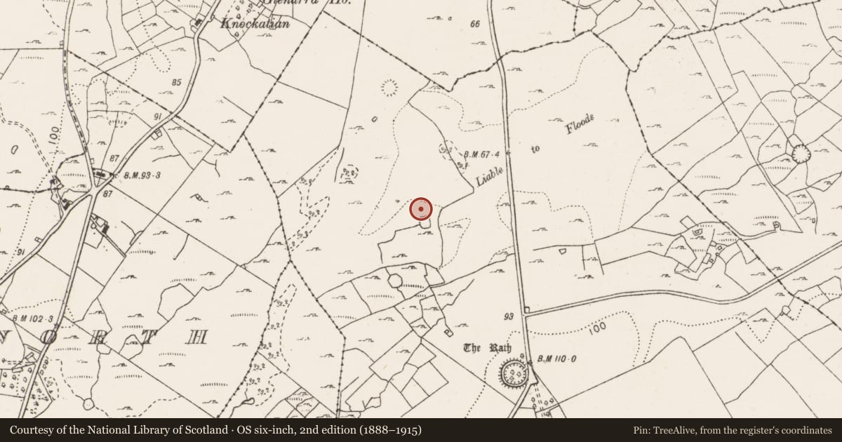
The record
- Townland
- Ballyallaban
- County
- Clare
- Country
- Ireland
- First-edition OS map
- Hachured
- Latest-edition OS map
- Not indicated
- Coordinates
- 53.09310, -9.16152
- SMR number
- CL005-037----
Slide toward Today to fade the historical sheet and see the modern map underneath.
David Rumsey Map Collection, Stanford LibrariesDavid Rumsey Map Collection, Stanford LibrariesDavid Rumsey Map Collection, Stanford LibrariesDavid Rumsey Map Collection, Stanford Libraries
4 historical maps cover this location, the earliest the 1753 map "Mappa geographica Regni Hiberniae" (David Rumsey Map Collection, Stanford Libraries).
Historical maps covering this location
- 1753 · Mappa geographica Regni Hiberniae (David Rumsey Map Collection, Stanford Libraries)
- 1790 · Composite: Ireland. (David Rumsey Map Collection, Stanford Libraries)
- 1869 · Ireland. (David Rumsey Map Collection, Stanford Libraries)
- 1891 · Ireland 16 (David Rumsey Map Collection, Stanford Libraries)
This record in the National Monuments Service's Historic Environment Viewer ↗
The National Monuments Service's description
On a slight rise, under hazel overgrowth in an area surrounded by intensively improved pasture on the floor of Ballyvaughan valley. Hachured on the 1840 ed. of the OS 6-inch map and potentially recorded as one of ‘three stone forts’ by Westropp (1901, 285). A moderately well-preserved, almost circular, cashel (32m E-W; 31.9m N-S) defined by a stone spread (Wth 2.6-6.5m; max. H 0.8m) with no discernible entrance. Internal facing-stones protrude throughout and short sections of external facing at N and S suggest an original wall thickness of between 1.5 and 2.3m. A field wall runs WNW-ESE just S of centre and a boulder wall curves off to the SW from its centre. At its W end, the fieldwall cuts through a possible animal pen (int. dims. 9m N-S; 2.4m E-W; H 0.5m) which abuts the inner face of the cashel. Another cashel (CL005-036----) is located c. 90m SSW.
Compiled by: Mary Tunney and Ros Ó Maoldúin
Date of upload: 7 February 2022
References
Westropp, T.J 1901 Prehistoric remains in north-western Clare part II. Journal of the Royal Society of Antiquaries of Ireland 31, 273-91.
Nearby in the register
- Ringfort - cashelunder 1 mi
- Canalunder 1 mi
- Ringfort - rathunder 1 mi
- Ringfort - rathunder 1 mi
Other entries of the same register within about three miles of this one, by straight line.