Sites and Monuments Record · Ireland
Clochan
Derreen West, County Clare, Ireland
The record
- Townland
- Derreen West
- County
- Clare
- Country
- Ireland
- First-edition OS map
- Not indicated
- Latest-edition OS map
- Not indicated
- Coordinates
- 53.08179, -9.29766
- SMR number
- CL004-088----
Slide toward Today to fade the historical sheet and see the modern map underneath.
David Rumsey Map Collection, Stanford LibrariesDavid Rumsey Map Collection, Stanford LibrariesDavid Rumsey Map Collection, Stanford LibrariesDavid Rumsey Map Collection, Stanford Libraries
4 historical maps cover this location, the earliest the 1753 map "Mappa geographica Regni Hiberniae" (David Rumsey Map Collection, Stanford Libraries).
Historical maps covering this location
- 1753 · Mappa geographica Regni Hiberniae (David Rumsey Map Collection, Stanford Libraries)
- 1790 · Composite: Ireland. (David Rumsey Map Collection, Stanford Libraries)
- 1869 · Ireland. (David Rumsey Map Collection, Stanford Libraries)
- 1891 · Ireland 16 (David Rumsey Map Collection, Stanford Libraries)
This record in the National Monuments Service's Historic Environment Viewer ↗
The National Monuments Service's description
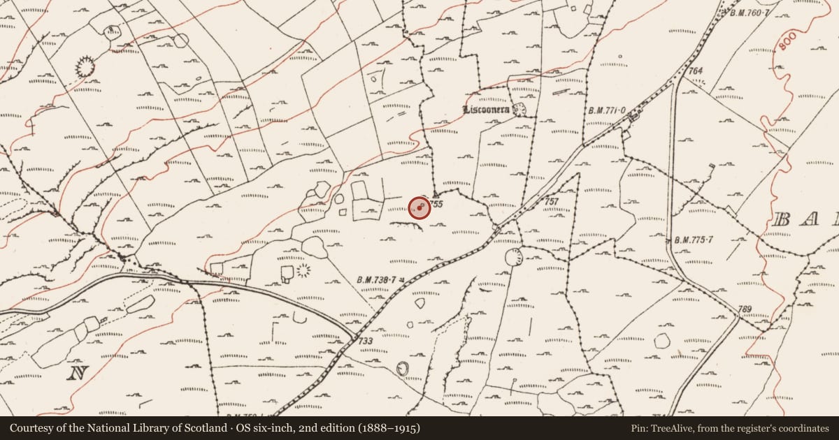
On the NW edge of a flat rocky terraced area with commanding views over Galway Bay from WNW to NNW and with slightly higher ground 26m to the ENE, within a large field system (CL004-098----). Indicated on the 1915 OS 6-inch map. A circular stone structure (ext. dims. c. 10m; int. dims. c. 4m) defined by an uncoursed stone wall (Wth 2.2-2.3m; max. int. H 1.2m at NW; int. H 0.9m at SSE; ext. H 0.9-1.2m) on a stone and clay plinth (Wth 0.8m; H 0.4m) visible at N, NE and W. The wall is collapsed at NE, E and S with a splayed NE-facing entrance (Wth 1m; H 0.9m) which is cut through the plinth and roofed by three lintels. Collapsed stone is located outside the entrance (Wth 3.4m). A small square alcove in the inner wall-face at NNW and a second square alcove which is open in the inner and outer wall faces at S may both be windows. There is a loose spread of stone outside the enclosing wall on all sides and the interior contains collapsed stone.
The following image has been uploaded:
CL004-088----_01.jpg View from NE
Compiled by: Mary Tunney and Lynda McCormack
Date of upload: 13 June 2022
Nearby in the register
- Hut siteunder 1 mi
- Ringfort - cashelunder 1 mi
- Field systemunder 1 mi
- Ringfort - cashelunder 1 mi
Other entries of the same register within about three miles of this one, by straight line.