Sites and Monuments Record · Ireland
Hut site
Lismacsheedy, County Clare, Ireland
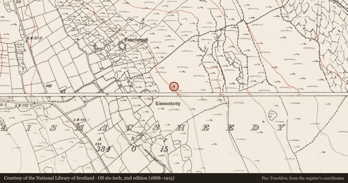
The record
- Townland
- Lismacsheedy
- County
- Clare
- Country
- Ireland
- First-edition OS map
- Not indicated
- Latest-edition OS map
- Not indicated
- Coordinates
- 53.10855, -9.20074
- SMR number
- CL002-098----
Slide toward Today to fade the historical sheet and see the modern map underneath.
David Rumsey Map Collection, Stanford LibrariesDavid Rumsey Map Collection, Stanford LibrariesDavid Rumsey Map Collection, Stanford LibrariesDavid Rumsey Map Collection, Stanford Libraries
4 historical maps cover this location, the earliest the 1753 map "Mappa geographica Regni Hiberniae" (David Rumsey Map Collection, Stanford Libraries).
Historical maps covering this location
- 1753 · Mappa geographica Regni Hiberniae (David Rumsey Map Collection, Stanford Libraries)
- 1790 · Composite: Ireland. (David Rumsey Map Collection, Stanford Libraries)
- 1869 · Ireland. (David Rumsey Map Collection, Stanford Libraries)
- 1891 · Ireland 16 (David Rumsey Map Collection, Stanford Libraries)
This record in the National Monuments Service's Historic Environment Viewer ↗
The National Monuments Service's description
On the W-facing slope of Cappanawalla. A hut site (diam. c. 8m) is visible on Digital Globe (2011-13). Lismacsheedy cliff-edge fort (CL005-018002-) lies 120m to the SW within an extensive system of cashels and hut sites. This was noted and reported to the National Monuments Service by Ros Ó Maoldúin.
Compiled by: Mary Tunney
Date of upload: 25 November 2020
Nearby in the register
- House - indeterminate dateunder 1 mi
- Cliff-edge fortunder 1 mi
- Enclosureunder 1 mi
- Field systemunder 1 mi
Other entries of the same register within about three miles of this one, by straight line.